Ala kaha kai means “shoreline trail” in Hawaiian. The Ala Kahakai National Historic Trail is a 175 mile trail restored and established in 2000 by the National Park Service. The trail covers over 200 of the Big Island’s original ahupuaa (the traditional Hawaiian mountain to sea divisions of the islands) and connects several ancient Hawaiian fisherman trails.

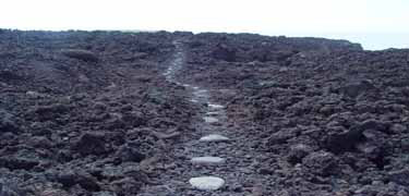
Restored part of the Ala Kahakai Trail on the Big Island of Hawaii
Ala Kahakai National Historic Trail Access
The trail, while not completely yet continuous, crosses over state and private lands. There are multiple places to access the trail from either end starting on the North tip of the island at Upolu Point in Kapaau and ending at Hawaii Volcanoes National Park.
Two of the easiest Ala Kahakai National Historic Trail access points that I like include:
- Kiholo Bay – turn toward the ocean at mile marker #82 on highway 19
- Anaehoomalu Bay – aka “A Bay” on the Waikoloa Beach Resort, a few miles up from Kiholo
Please note: much of the trail crosses rocky lava fields and should be used by hikers with good balance and sturdy shoes.

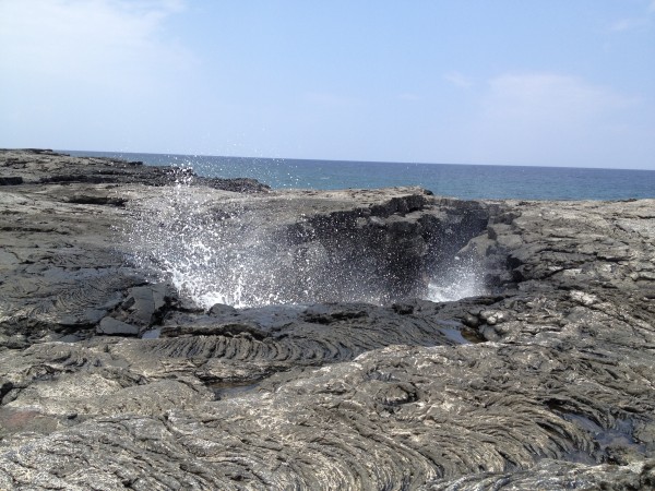
A remote blowhole seen from the Ala Kahakai Trail about 2 miles south of Kiholo Bay
Exploring the Big Island’s Ala Kahakai Trail
The Ala Kahakai National Historic Trail is one of the best ways to explore remote beaches, lava fields and tubes and brackish ponds of the Big Island. Take time to explore the Ala Kahakai Trail and enjoy some of the most dramatic, stunning natural wonders of the world – found right here on the Big Island of Hawaii!

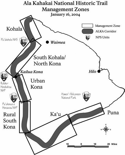
Map of Ala Kahakai National Historic Trail Management Zones


Leave your opinion here. Please be nice. Your Email address will be kept private, this form is secure and we never spam you.